Walks and Climbs
Walk to Ornaberg
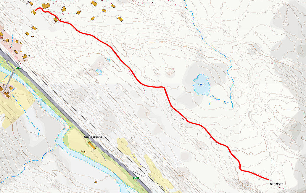
This is an easy walk to get you started. From the cabin, continue up the path.
It looks like the path just goes to a cabin, but it does carry on.
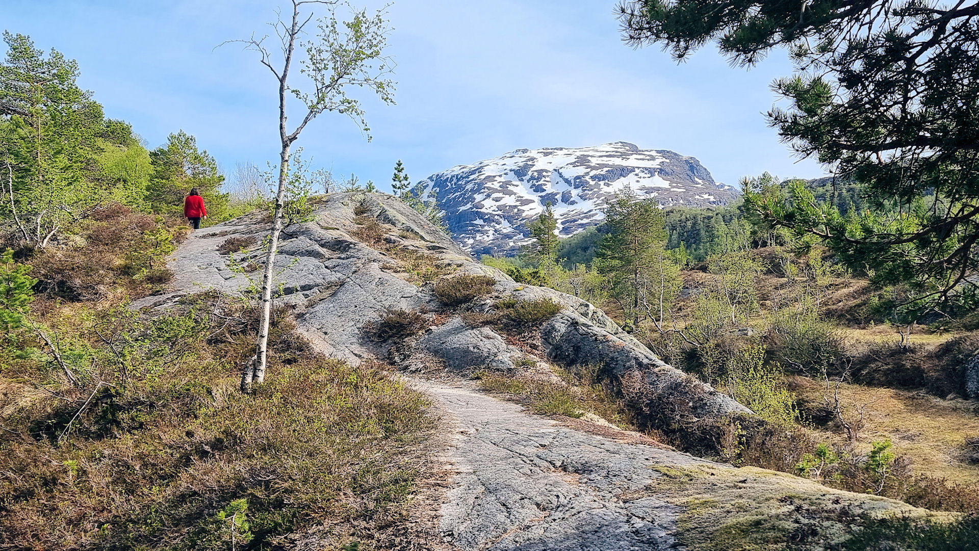
You can keep walking up the path until you get to the next cabin area, or just turn around at any time.
Walk to Loyningsvatnet
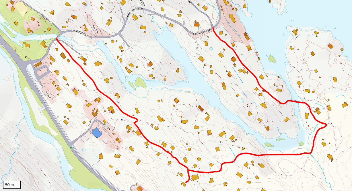
Above map shows two walking routes from the cabin at the bottom of the map to Loyningsvegen which leads on to Loyningsvatnet.
The left route is by far the easiest route, but the right route is more interesting.
Use ut.no to stay on track. (click the arrow bottom right for your location on the map)
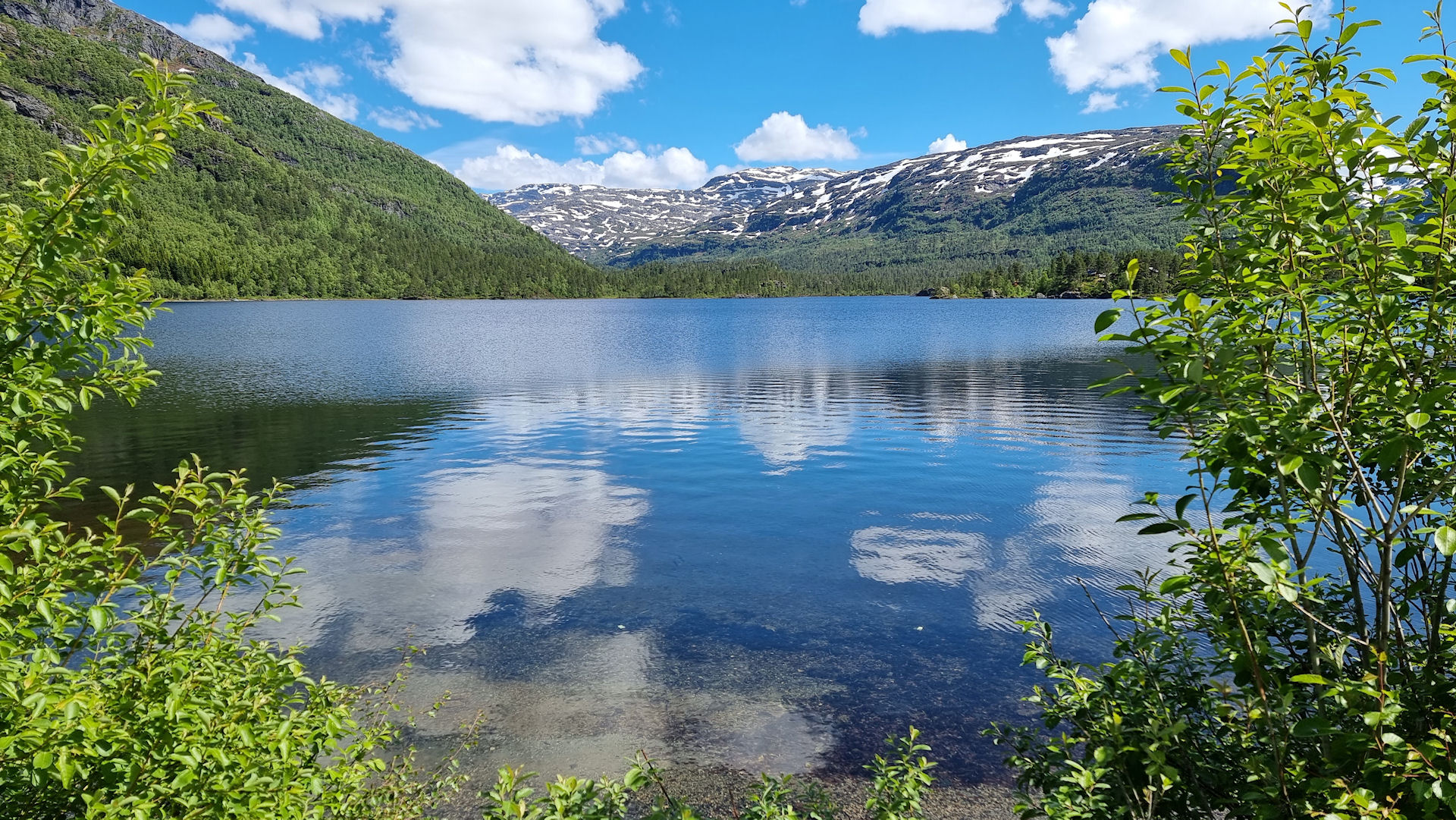
This is Løyningsvatnet, about 20 minutes walk from the cabin.
Walk up Øktarenuten
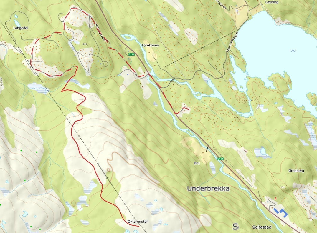
From the carpark, walk or drive down the E134 and take the next left (signposted Solfonn)
Go up through the cabin area to the end of the road, near the pylons.
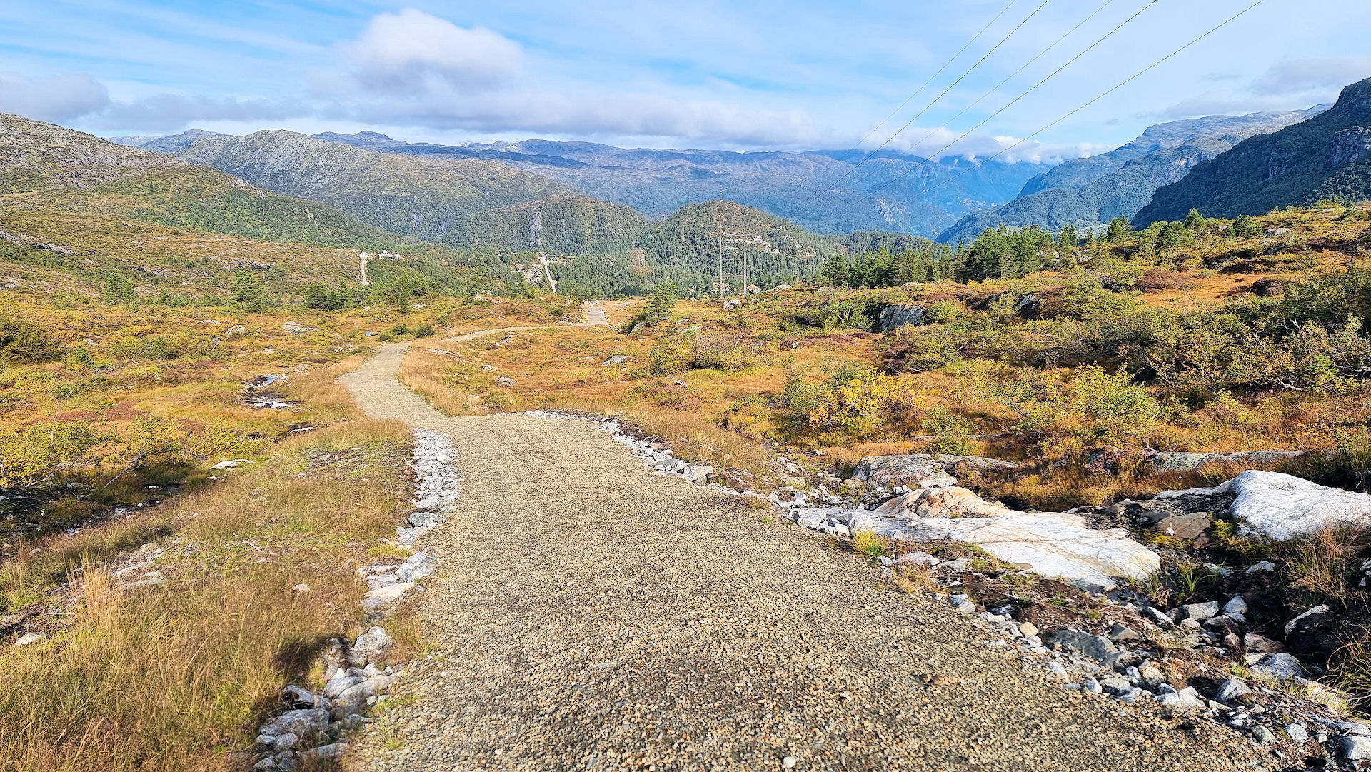
Then walk up the gravelled path to the top of Økternuten
at 870m.
Climb to Ruklenuten
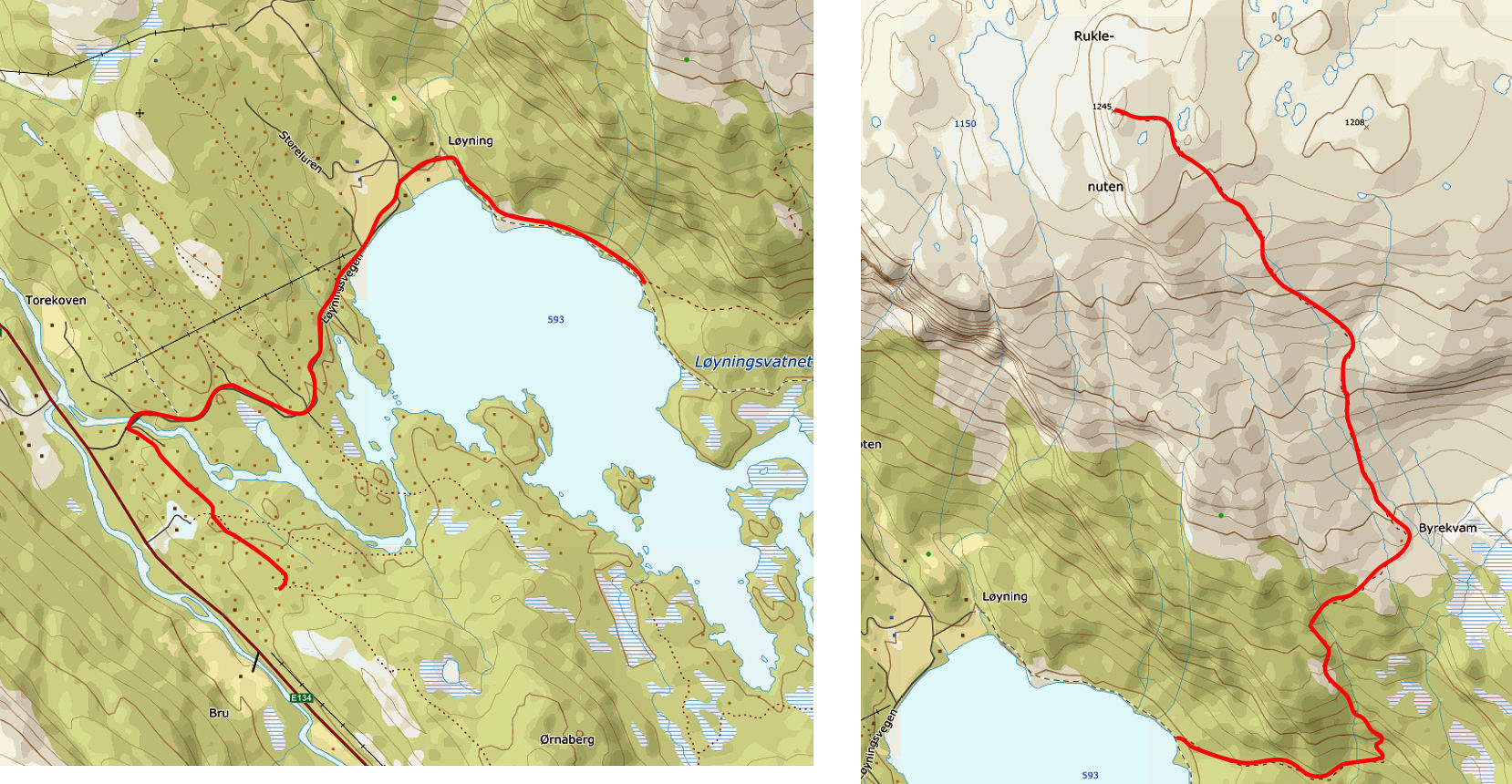
This is the route from the cabin to Ruklenuten, a peak at 1245 meters (4084 feet).
First walk to the far side of Løyningsvatnet as shown on the left map
The right map shows the 700 meter climb to the top.
It will take about 2 hours to climb to the top if you are reasonably fit.
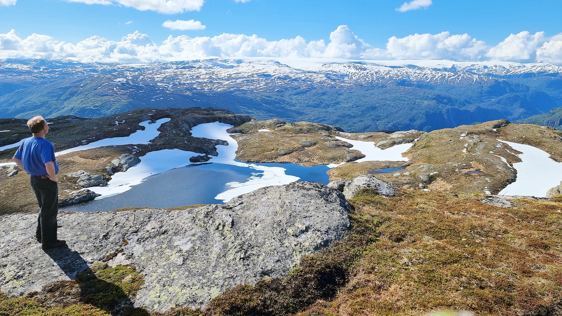
Ruklenuten (1245 meters above sea level) The views from the top are amazing !
Climb up Langfoss
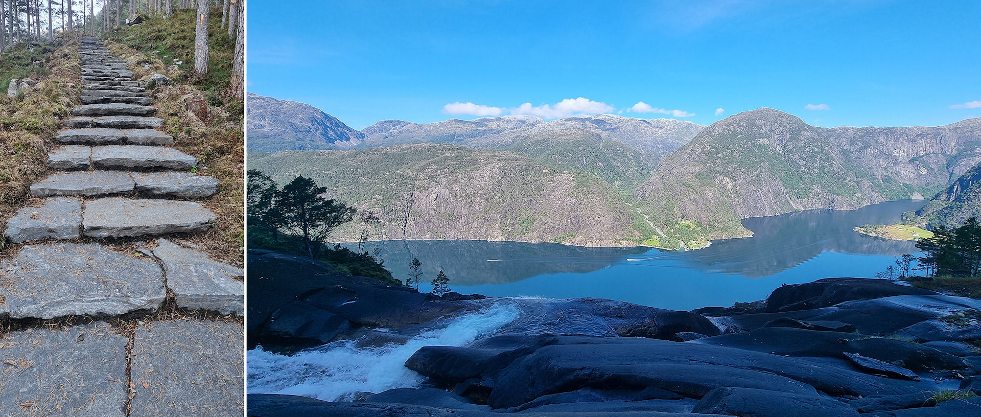
Drive to Langfoss on the E134 and park in the carpark next to the waterfall.
The walk starts at the carpark and is sherpa steps most of the way up to the viewpoint at 350meters.
It takes about 50 minutes to the viewpoint. You can carry on walking right to the top if you want to.
Climb to Litletoppen

Climb to Lilletopp. To start this walk, drive to Odda, then carry on north on the right side of the fjord to Tyssedal.
Park up somewhere on the housing estate and walk to the top of the road.
From here there is a well marked route to Lilletopp. Takes about an hour to the top.
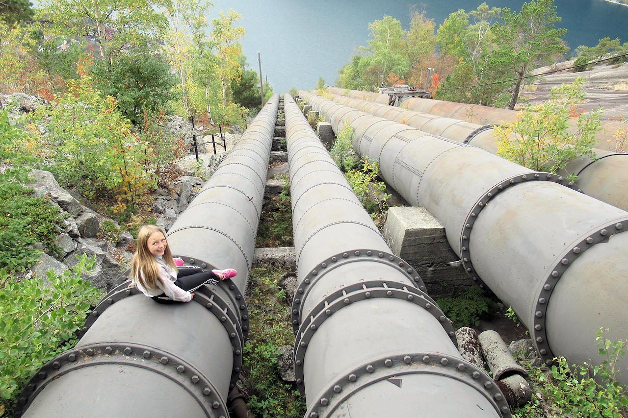
Walk to Lilletopp which takes you up the old pipelines to the powerstation.
Great view from the top. Click here for route description
Climb to the Buer Glazier
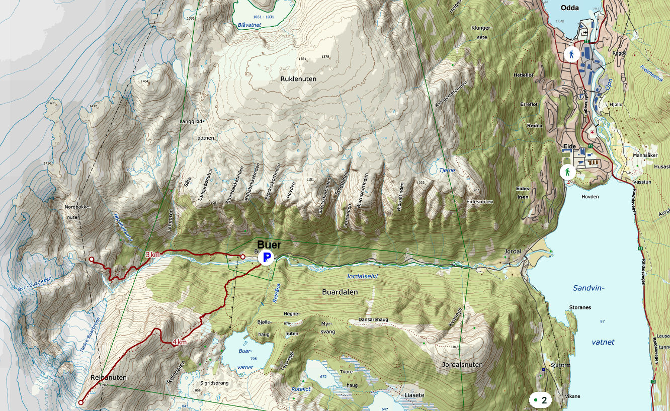
To start the climb, drive to Odda. At the end of the lake, just as you get to the outskirts of Odda, turn left and follow the signs to Buarbreen.
Drive to the end of the road where you will find a pay and display car park.
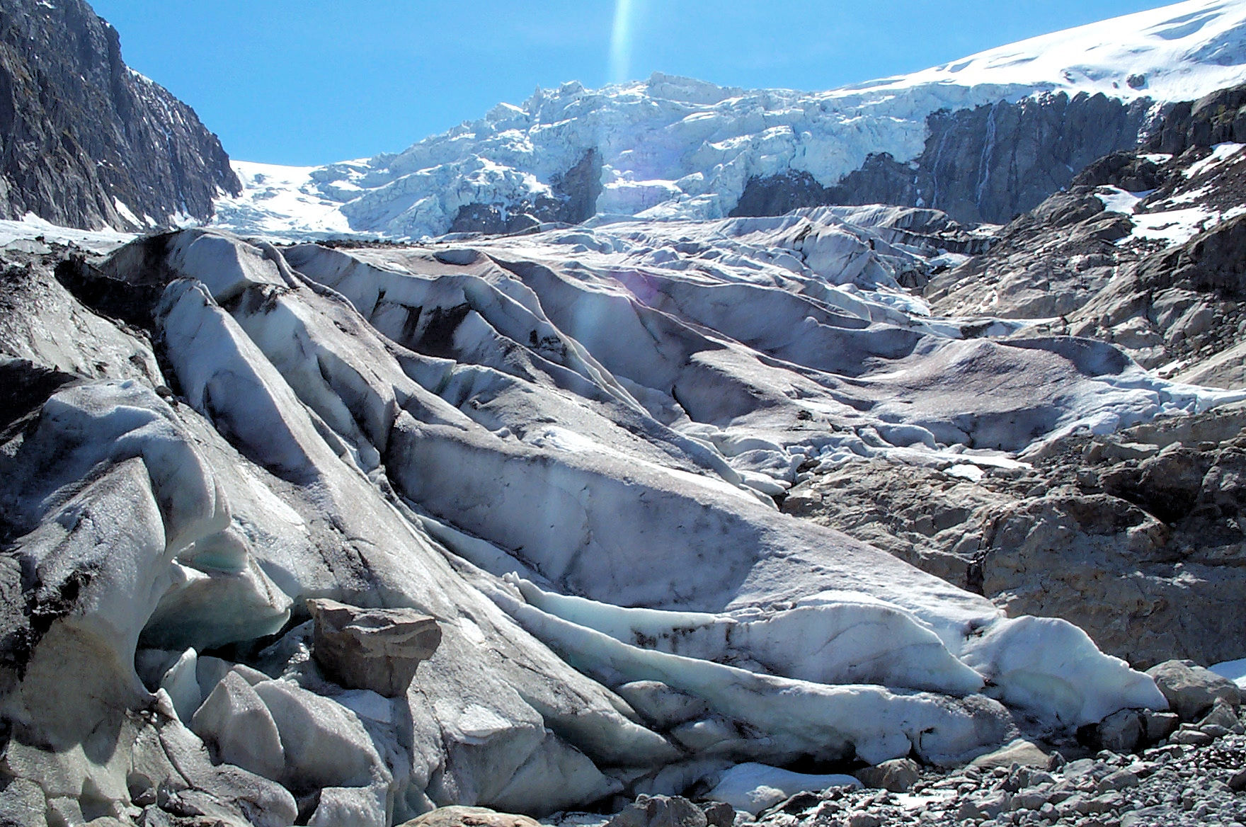
Buarbreen glacier
You will follow the river for most of the hike up to the glacier.
Some places there are bridges where you cross the river. The whole hike is in wild and lush landscape, and you can see the glacier in front of you nearly the whole way.
In some parts of the hike you will find ropes to make it easier to climb. The last part of the trail is in steep terrain, and sturdy hiking boots are recommended.
Trolltunga
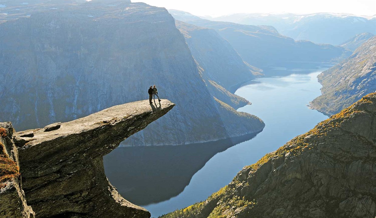
Trolltunga, the most spectacular mountain formation in Norway, juts out from the rock 700 meters above Ringedalsvatnet. The hike up to Trolltunga (1180 meters above sea level) is mostly in high mountain terrain and is long and demanding. But you will be rewarded for your efforts – a magnificent view awaits you up there. From the main starting point at P2 in Skjeggedal, you have a 27 km round trip with an altitude difference of almost 800 meters. Estimated walking time is 8–12 hours. You can also start from P3 Mågelitopp. From there, the round trip is 20 km and the altitude difference is about 320 meters. Estimated walking time is 7–10 hours. Hikers must be in good physical shape and have proper equipment.
For more details see the Trolltunga website
Kyrkjeveggen Via Ferrata
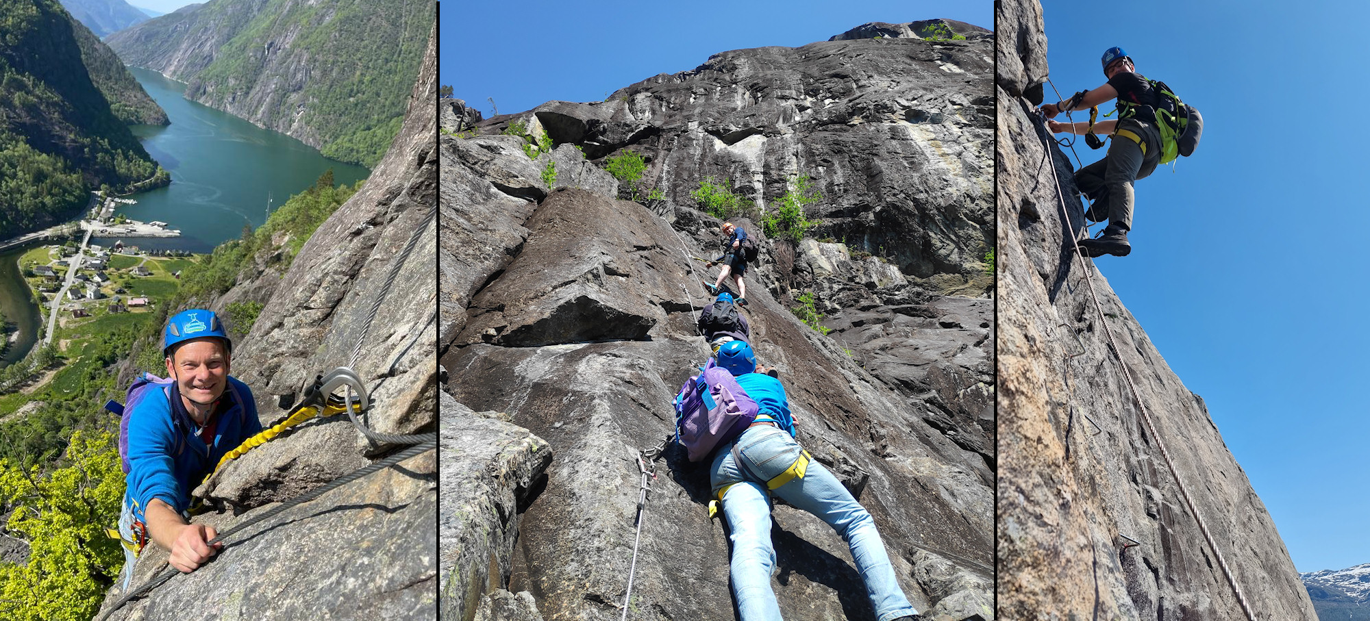
The route is primarily on rock surface. In more challenging parts steps and holds have been installed for easier access.
From the start to the top shelf the route is approximately 900 meters long. See Kyrkjeveggen Via Ferrata, for details.